
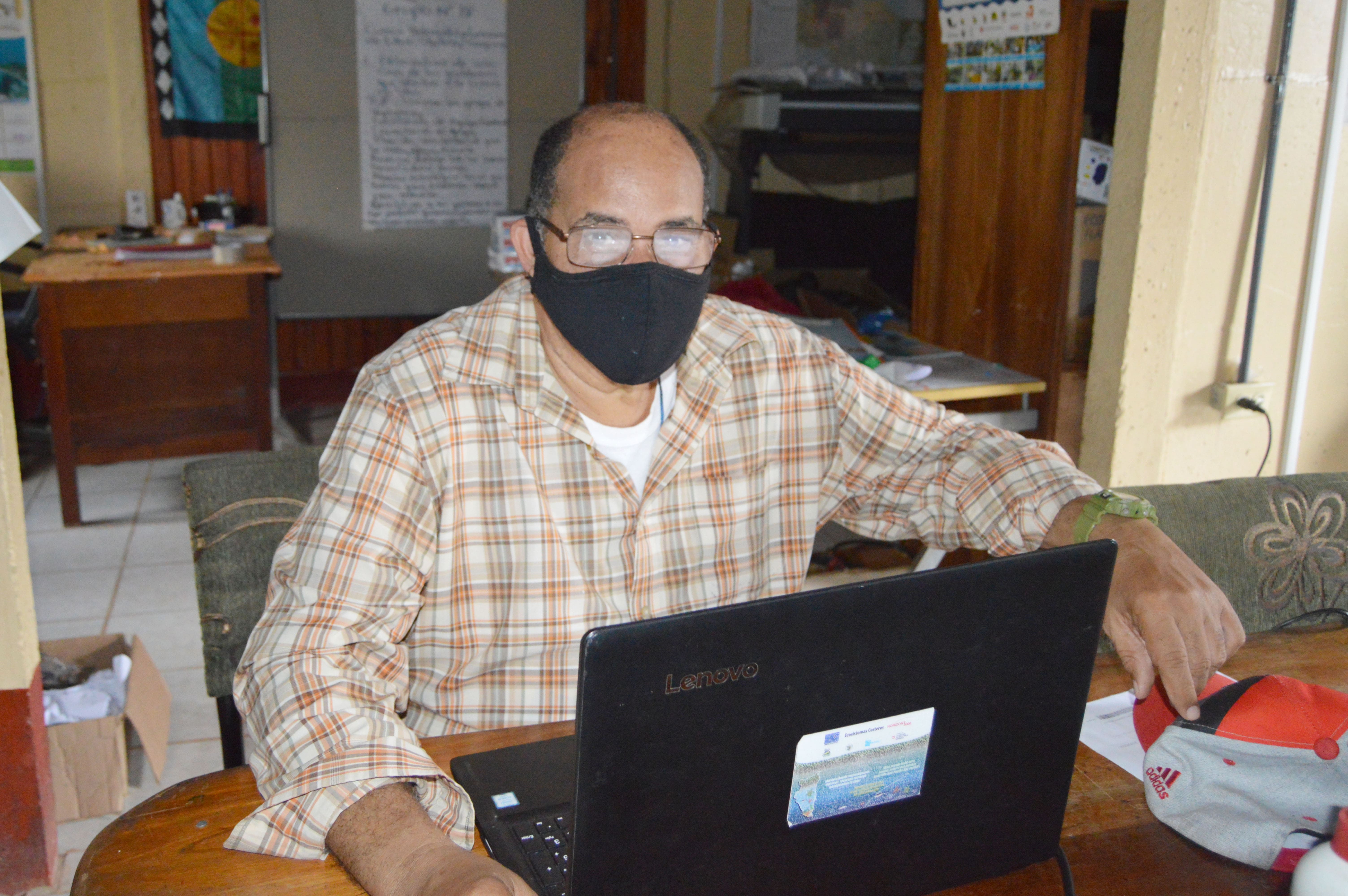
Master Williamson, director of IREMADES, at the time of his presentation.
Intervention of the management of IREMADES-URACCAN
URACCAN, through the direction of the Institute of Natural Resources, Environment and Sustainable Development (IREMADES), made virtual presentation on the "Experiences of mapping indigenous territories of Central America", in the diploma in "Community Governance of Biological Diversity in times of pandemic with emphasis on gender and interculturality", organized by the Latin American Faculty of Social Sciences (FLACSO) of Guatemala.
Master Marcos Williamson Cuthberth, director of IREMADES, during his presentation explained how, from the university, mapping processes have been achieved, where maps of indigenous peoples, protected areas and natural ecosystems have been developed throughout Latin America, to contribute in the development and autonomy of the indigenous, Afro-descendant and mixed-race peoples of Abya Yala.
In his speech, the teacher emphasized that the second largest and most important coral barrier in the world is part of the areas of use and occupation of the Garífuna people in Belize; He also explained that 50% of forests and 40% of land protected areas in Central America are located in areas of use and occupation of indigenous peoples.
Williamson emphasized that this participation takes place within the framework of agreements that have been signed with such institutions, "fortunately URACCAN, with Dr. Silver Elijah, we have had an agreement and we have developed several things together, in the diploma that URACCAN performs virtually, Silver is one of the facilitators (...), then he asked me to hold a conference on URACCAN's experiences in relation to the map of indigenous peoples , protected areas and natural systems in Central America".
It is worth mentioning that this project was carried out in 2017 from the URACCAN, the conference managed to share the methodology and results of the map, "and I told you about the national map of Nicaragua, a manual that we made and what the manual, map and manual can be a tool of struggles of indigenous peoples and with the data that is produced on the maps , with that indigenous people can socially re-enter their rights, for example, the right to usufruct, to free self-determination, to the right to consent, free and informed," Williamson stressed.
- Log in to post comments
- 30 views